🎁 Frais de ports offerts sur tout le site pour une livraison en France métropolitaine dès 50€ d’achat
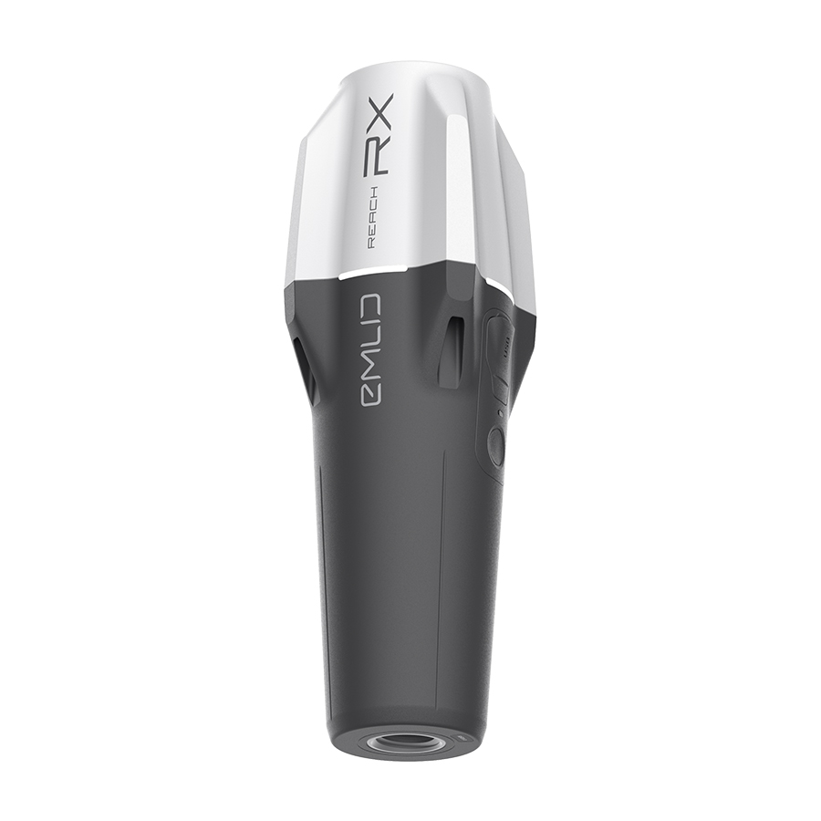
Reach RS3
Récepteur GNSS RTK avec compensateur d’inclinaison
Découvrez le nouveau récepteur d’Emlid
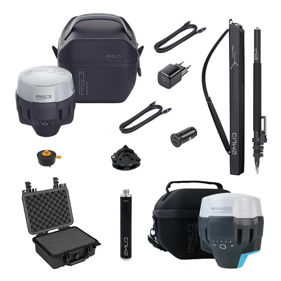
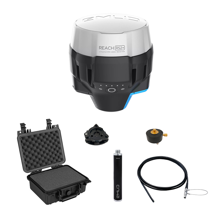
Kits de mesure
Bénéficiez de remises avec nos kits de mesures
Loading...
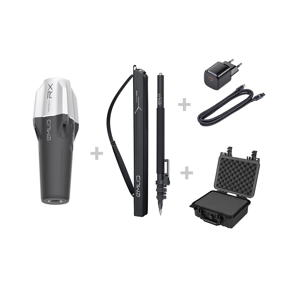
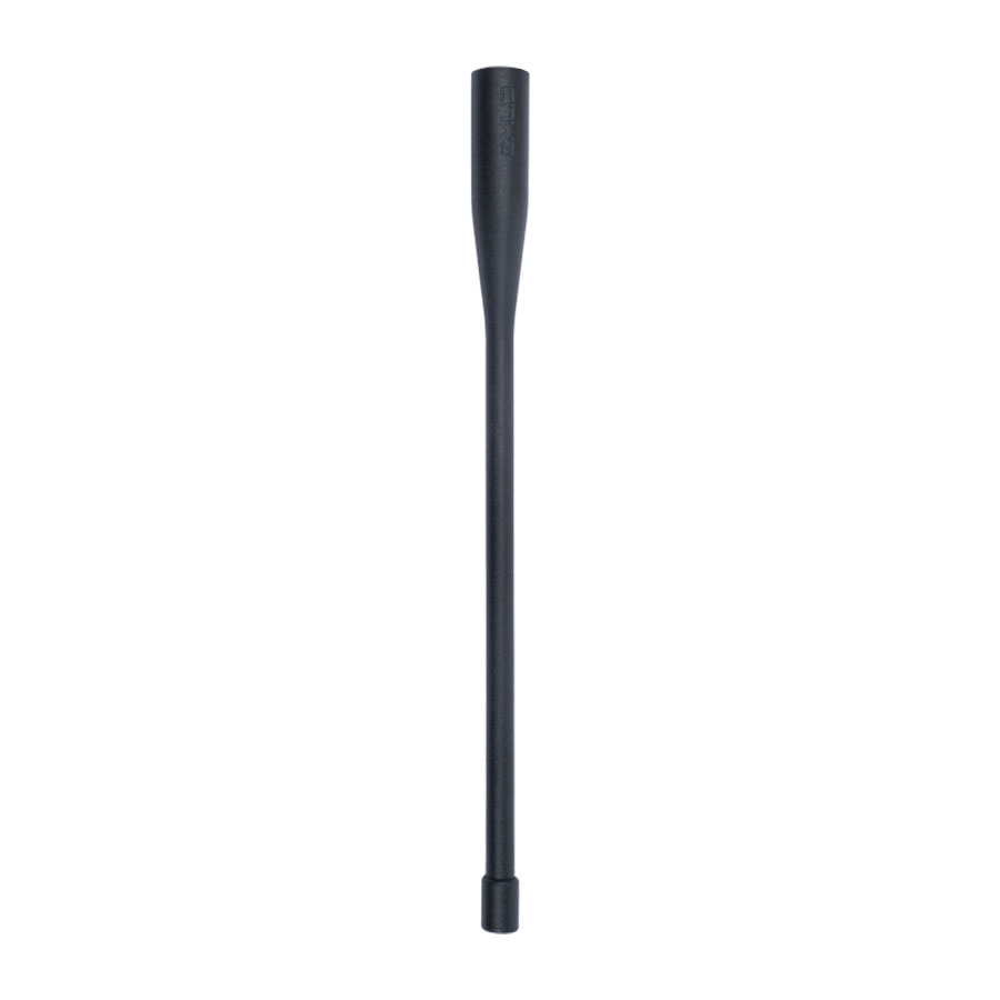
Canne téléscopique
Découvrez les avantages de la canne Emlid
Légère, facile à transporter avec support pour smartphone intégré
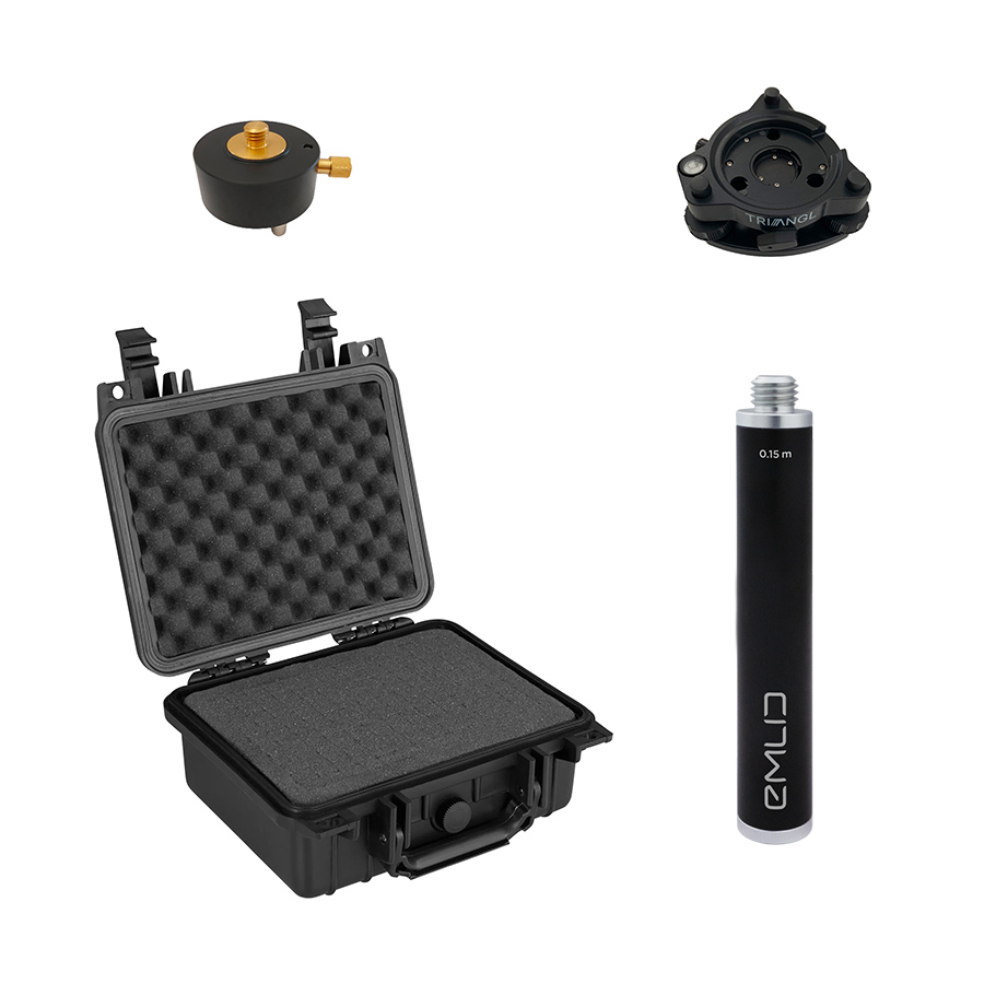
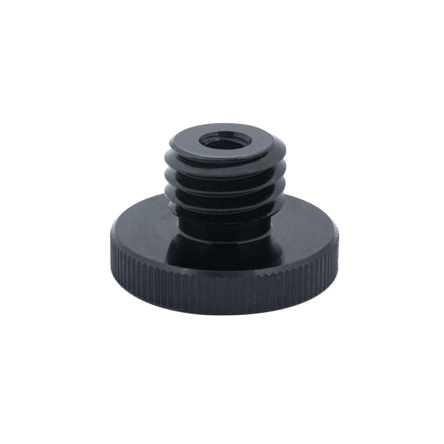
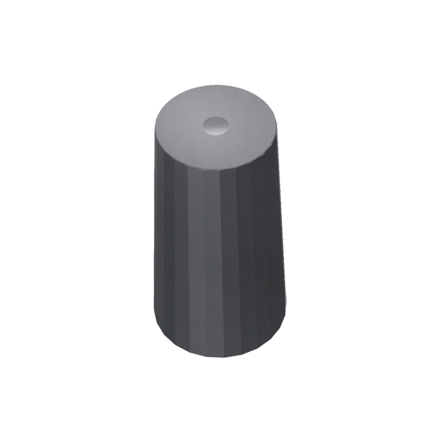
Accessoires
Loading...

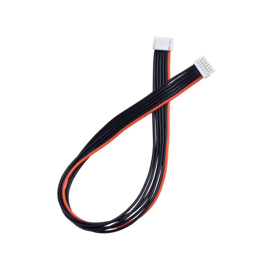
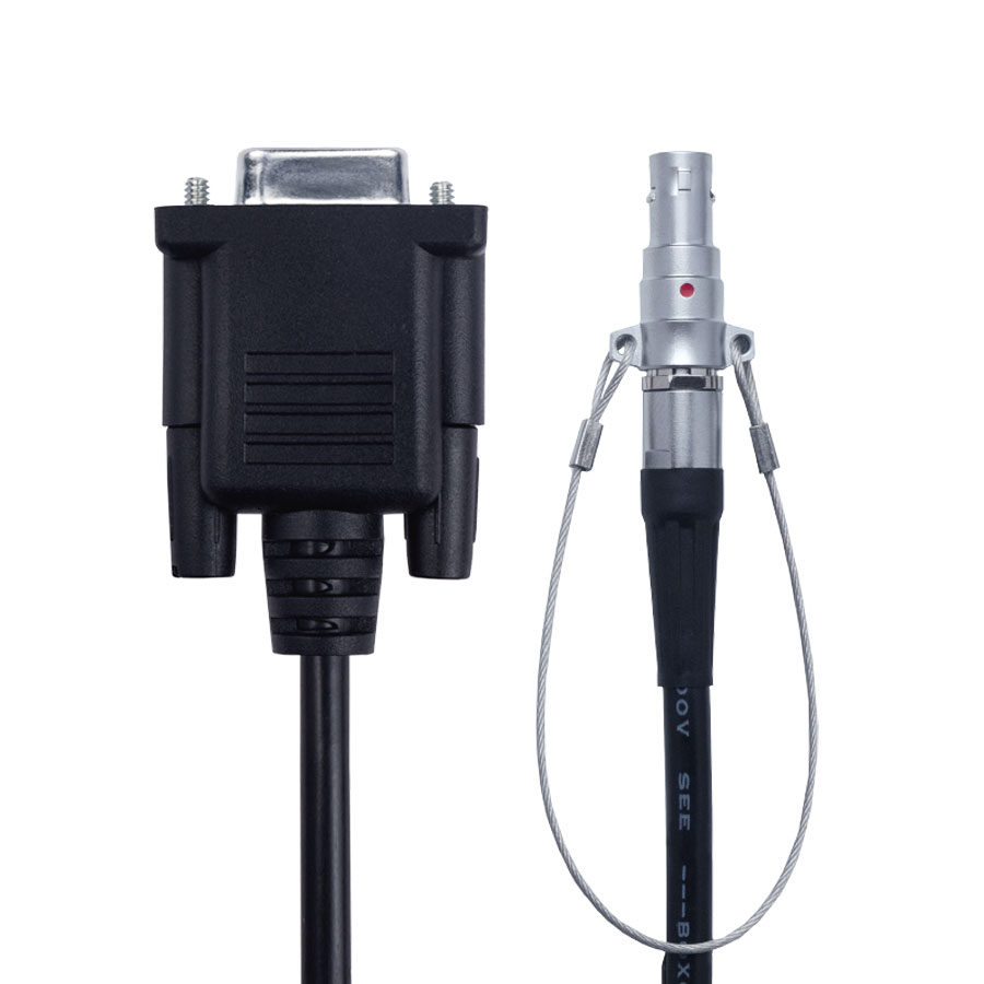
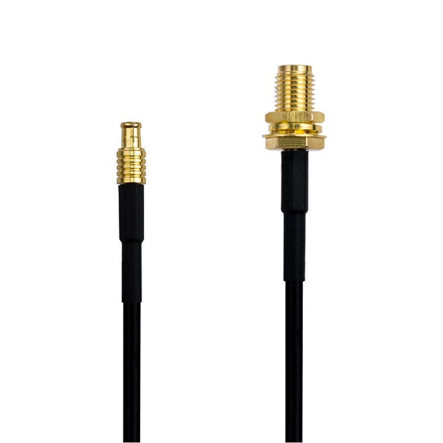
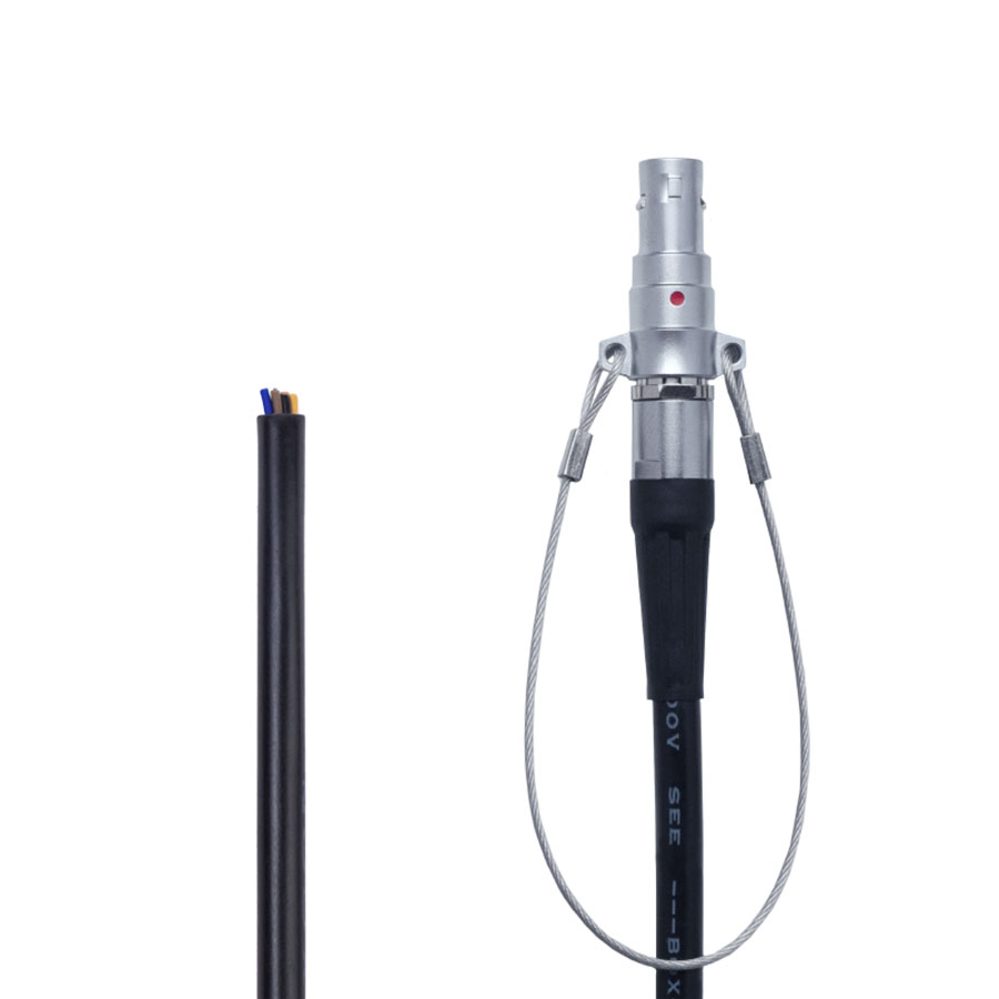
Câbles
Loading...

Livraison express en France métropolitaine

Paiement CB, Prélèvement bancaire, SEPA

Bons de commande acceptés
Vos procédures d’achat nécessitent l’édition d’un bon de commande ? Déposez-le ici, et nous traiterons avec votre département achats en direct.
Répartition de nos clients par secteur
Les récepteurs et modules GNSS s’adaptent aux différents besoins des professionnels en proposant une solution rapide, simple et robuste pour calculer des positions avec précision centimétrique.
Retrouvez les témoignages de professionnels qui utilisent au quotidien les technologies de géolocalisation de précision dans leur domaine d’activité.
-
Geometres experts
-
Cartographie
-
TP Construction VRD
-
Hydrographie
-
Agriculture
-
SIG
-
Autres